The Burr Trail and Capitol Reef
“I read of a man who stood to speak at the funeral of a friend. He referred to the dates on the tombstone from the beginning to the end. He noted first came the date of the birth and spoke the following date with tears. But he said what mattered most of all was the dash between the years.“
-Linda Ellis
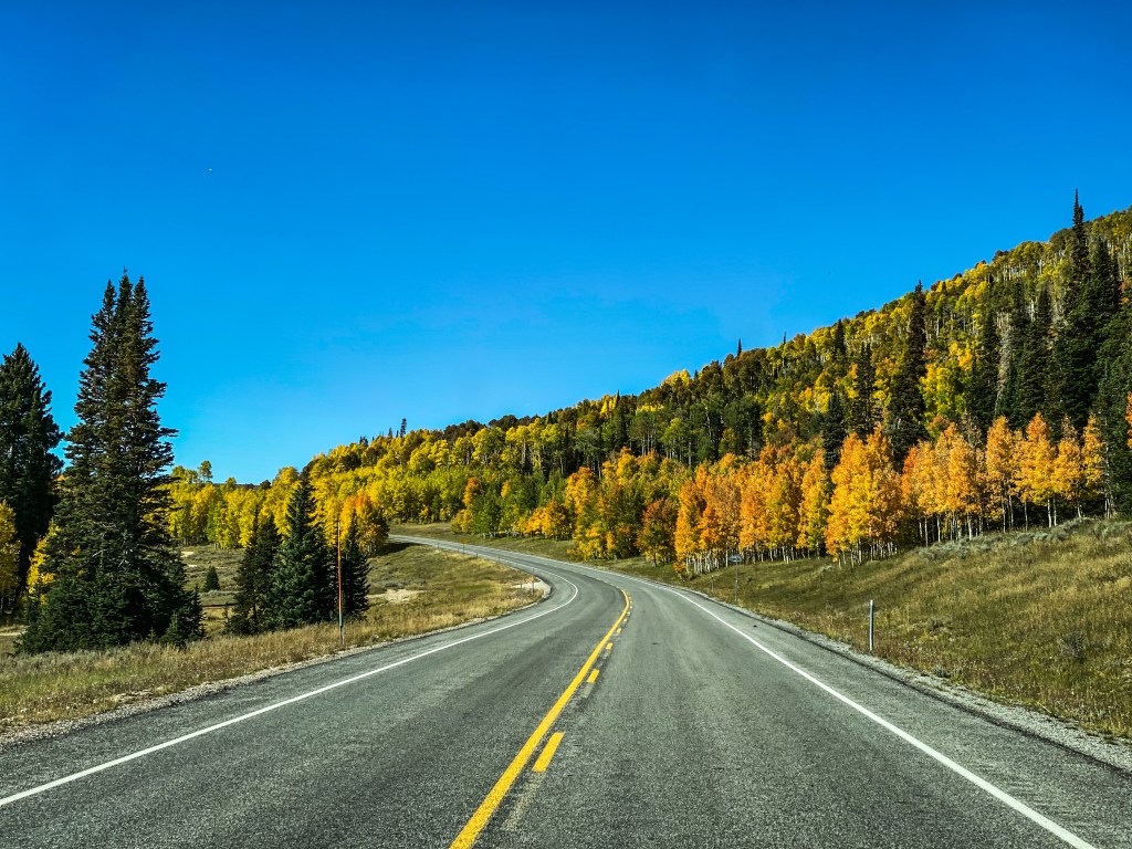
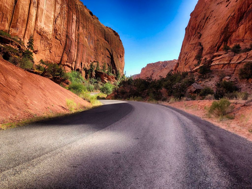
Highway 12 is to Utah what the Pacific Coast Highway is to California. To ride or drive this ribbon is to traverse the most beautiful highway in the United States, and that’s not just my opinion. We’ve ridden it a number of times on motorcycles and I’ve soloed it more often than I can remember, and I always can’t wait to get back to it.
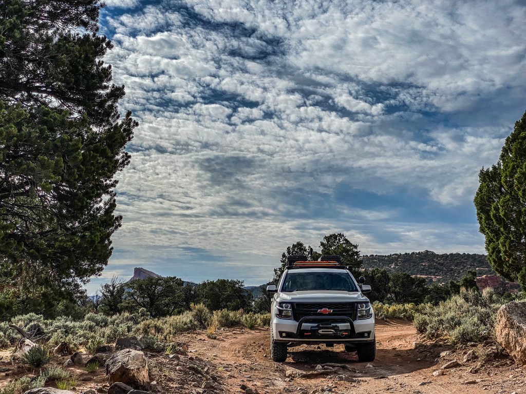
I had yet to drive its most popular spur, the Burr Trail. I’ve made several passes on two wheels, coming and going to Bullfrog, but nothing in a cage with the road to Capitol Reef still unexplored.
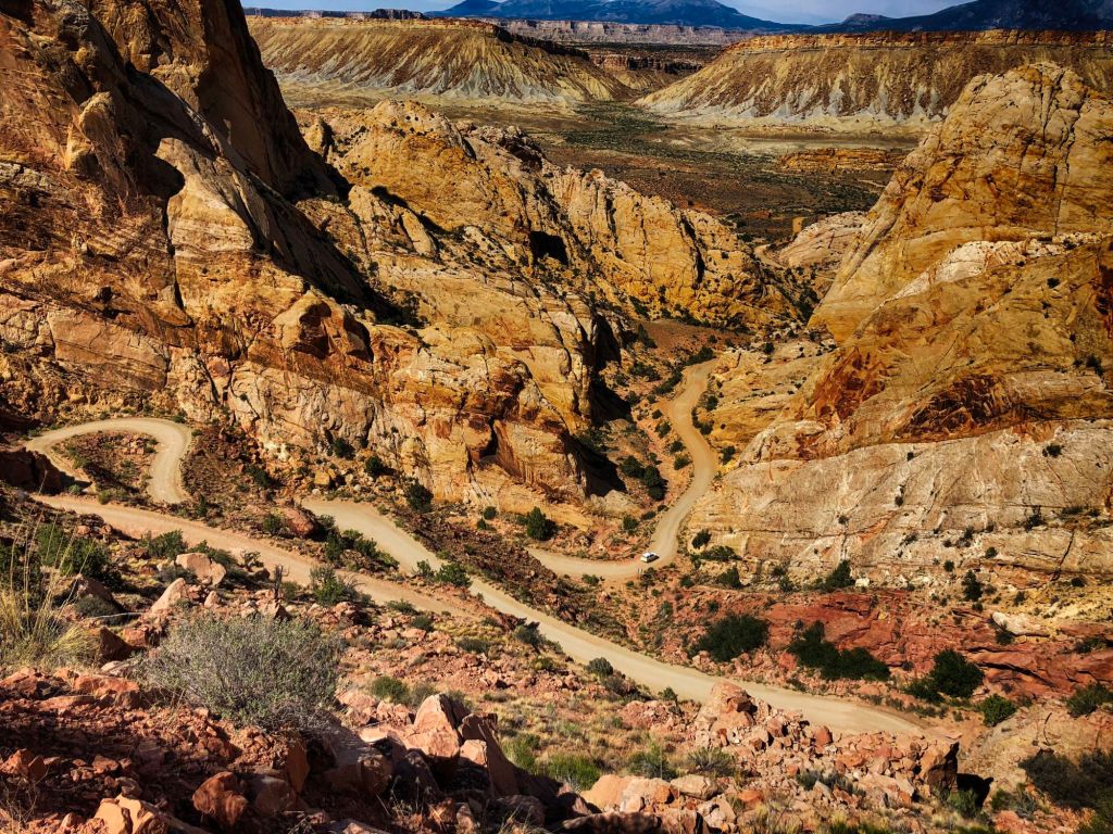
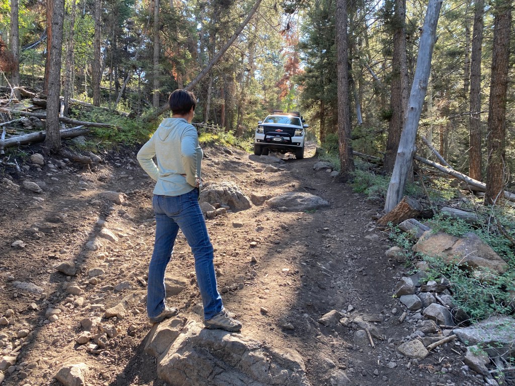
The Burr Switchbacks can be a bit of a white knuckled ascent on a motorcycle, at least they were to me, but their descent would be an E-ticket in the WRōV. All these things considered, along with having never explored Capitol Reef National Park as well, came together to mark our first #dashbetweenthedates tour.
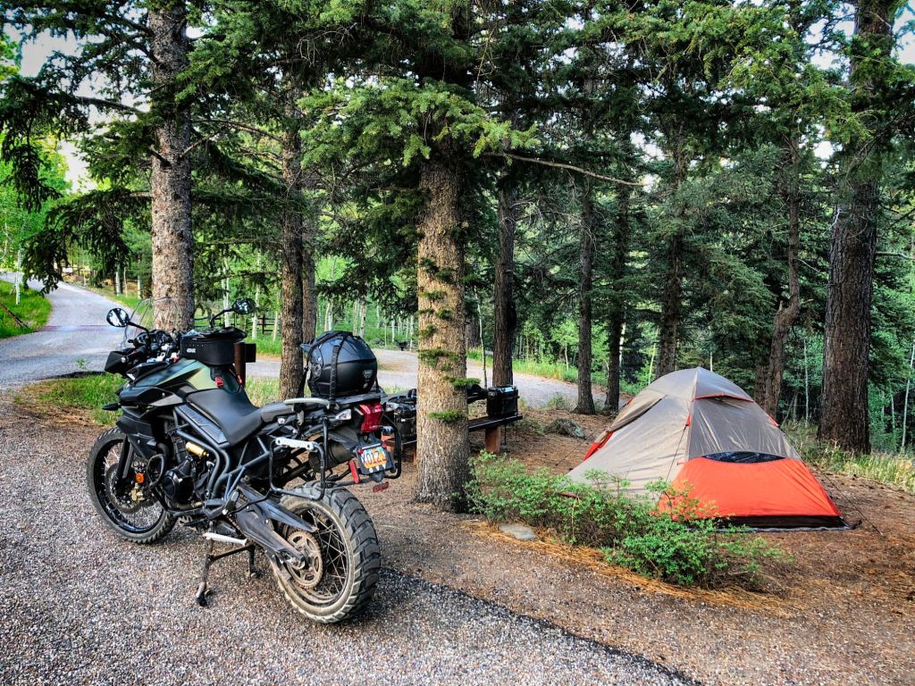
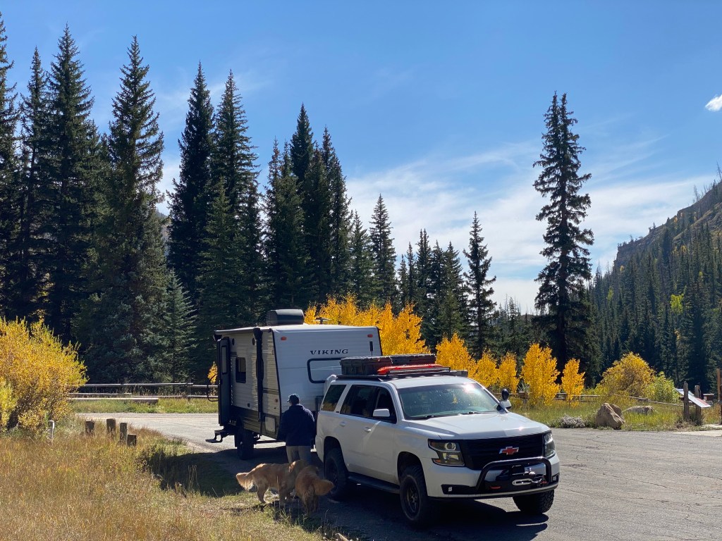
We camped on Boulder Mountain at the Pleasant Creek Campground off of Highway 12.
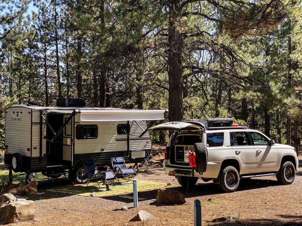
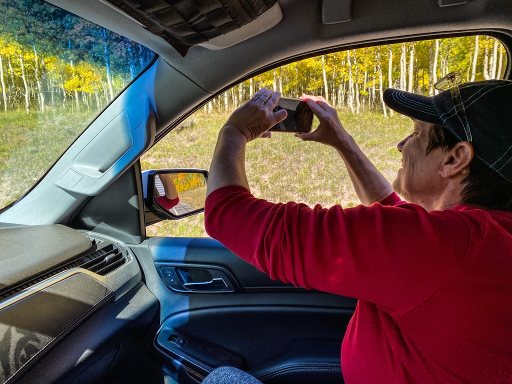
We had the campground all to ourselves and while relaxed we were treated to a vintage sports car rally that was routed along 12, watching old Porsches, BMWs, Alfa Romeos and the like zip by. Later that afternoon we went up the Chokecherry OHV trail to summit Boulder Mountain. Yes, we took our full-size rig up an OHV trail. It wouldn’t be the last time, either.
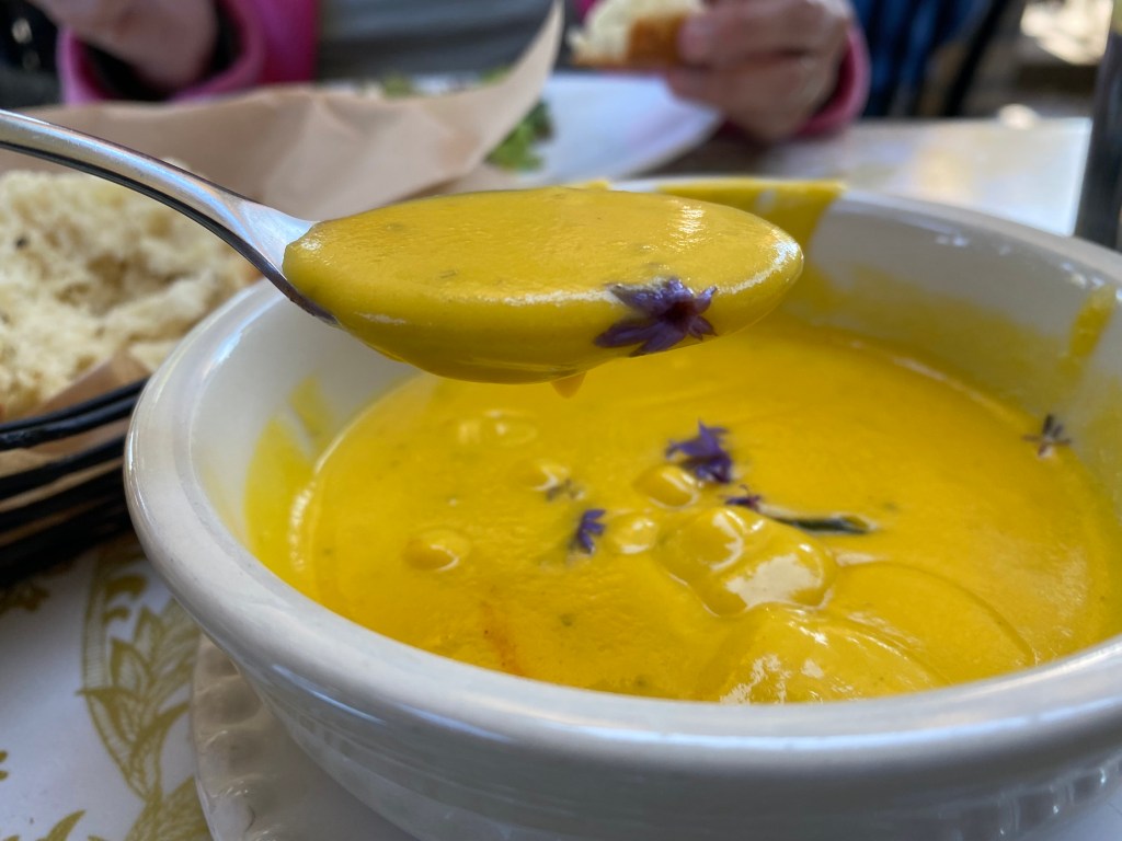
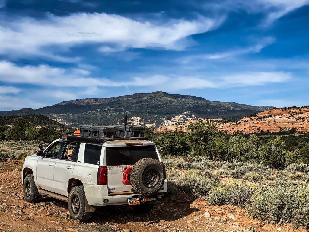
Mindy spotted the WRōV’s track while it proved itself a worthy overlander, even in the tightest of spaces. We enjoyed dinner that night at Hell’s Backbone Grill and Farm.
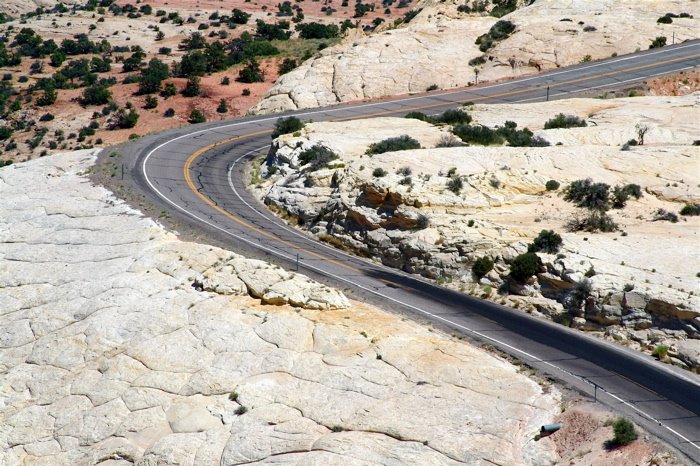
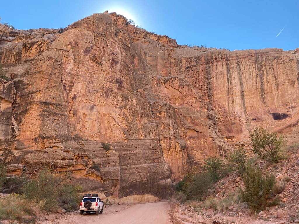
The following day we made the descent down the Burr Trail and made a left after the switchbacks, heading north to Capitol Reef through Strike Valley.
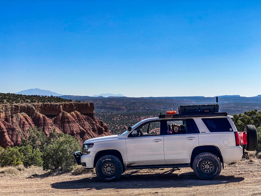
Nottam-Bullfrog Road, named for its disparate destinations, north to south, cuts along the valley, crossing Capitol Reef National Park boundaries, and pops out at Highway 24.
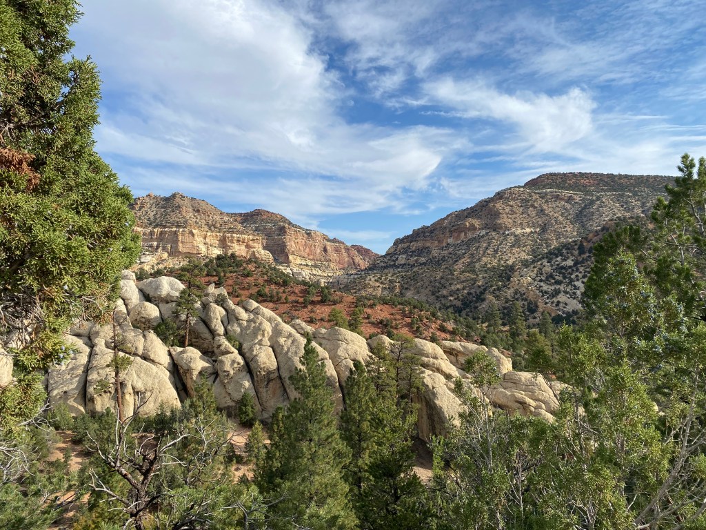
We entered the park and drove its scenic route until the pavement ended at the Capitol Gorge Road Picnic Shelter, then continued on the dirt track to the gorge trail head, noting a sign that indicated a trail back to Pleasant Creek and filed that away in the back of our brains.
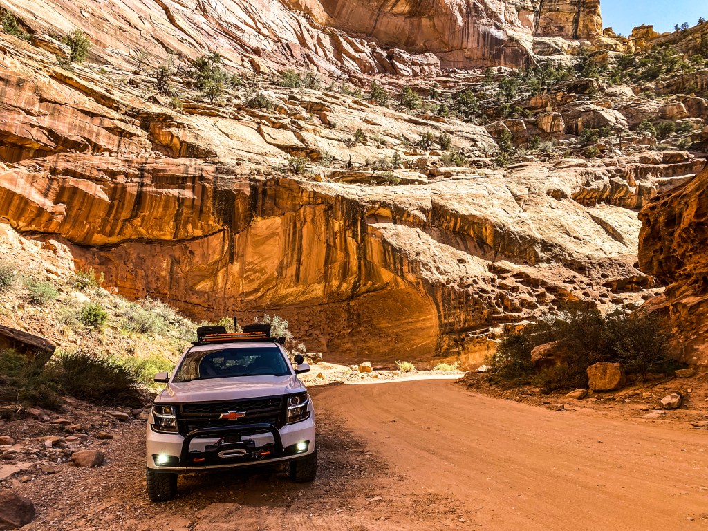
We doubled back on the pavement to the Cassidy Arch Trailhead as well, somewhat exhausting what Capitol Reef could offer a tourist in a rental car.
On the way out from the Cassidy Arch Trailhead, we stopped at the fenced-off entrance to an old uranium mine, the sign warning us of certain risks even being there.
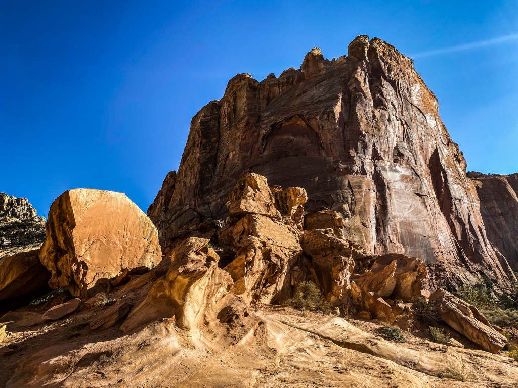
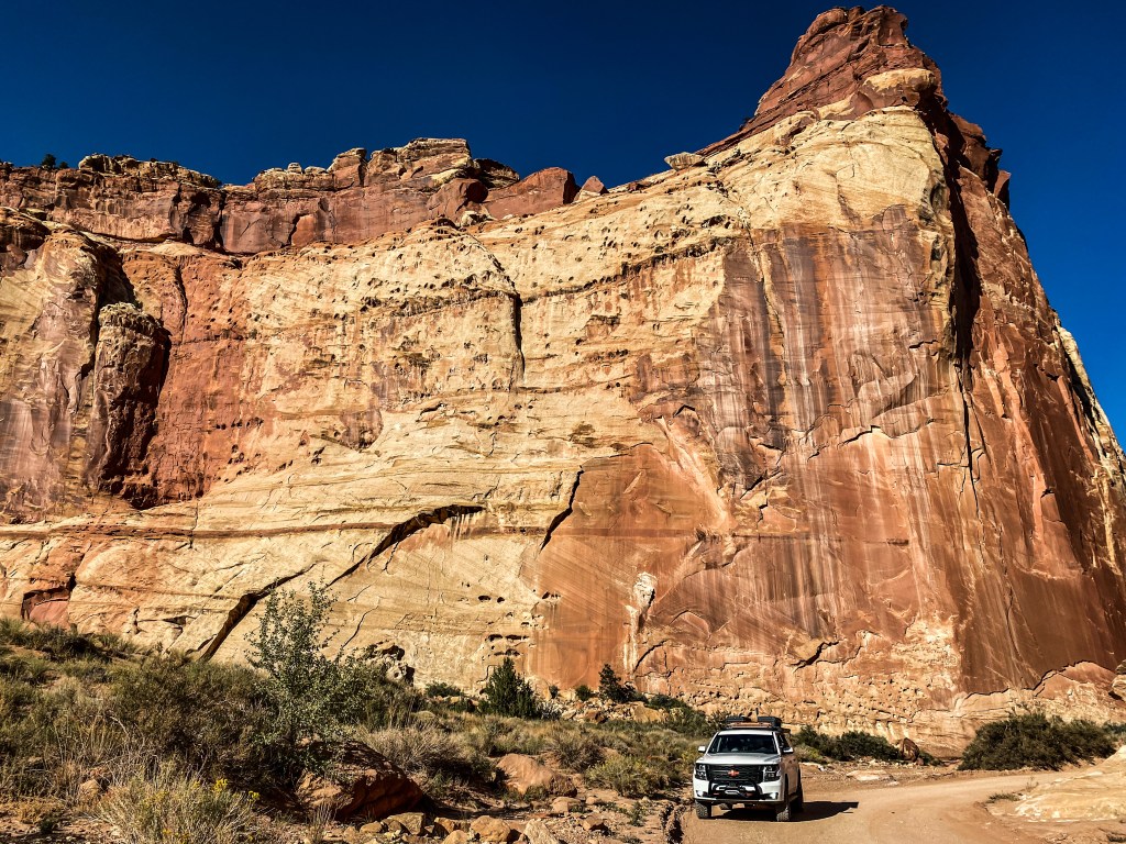
This outing so far, while being beautiful and scenic, hadn’t checked all the adventure boxes, the risk of radiation poisoning notwithstanding, so we decided to head back down the park’s main road to the Pleasant Creek Trail junction to see if that trail would, in fact, take us back up the mountain to our campsite. The Garmin map said it did and so did the Gaia navigation. Good enough for us.
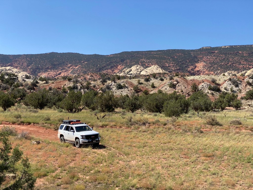
We drove the road which quickly disintegrated into a more gnarly, taking us past the Capitol Reef Filed station and on to Draw Road once it crossed Pleasant Creek. Now, this is what we were hoping for. Creel crossing, crossing up axles, steep inclines, sandy slips, check, check, check. No pics, sorry. Too busy driving. We rolled on Draw Road all the way out of the park between the Sheets and Maverick Draws on the Tantalus Creek. What’s in a name?
Tantalus was a mythical Greek god who was punished for stealing by placing him in a creek of fresh water under a fruit bearing tree. The tree itself would move just out of his grasp when the god reached for a pluck, and the water would recede just out of his reach when he tried to drink. This is the etymology of the word tantalize.
Someone knew their mythology in naming this creek. Just after its precarious crossing, the road canted to the left, so far off camber that any attempt would’ve rolled the WRōV. This fine line is where one checks their ego and backs down as gingerly as possible and doubles back to tarmac.
We took Highway 24 to Torrey, and then 12 up Boulder back to our cozy trailer and enjoyed the stream of sports cars going back down the mountain and had a wonderful evening.
We rose early the next morning and decided to try the Pleasant Creek Trail from the top end, the beginning of which just a stone’s throw from our campsite. We loaded Ginger and Maryann and made our way down the mountain on a reasonable service road to the Lower Bowns Reservoir, following our navigation back to a beautiful overlook of Spring Gulch, taking us to Draw Road just a few hundred yards from where we turned around the day before.
Check, check, check. As good as done.
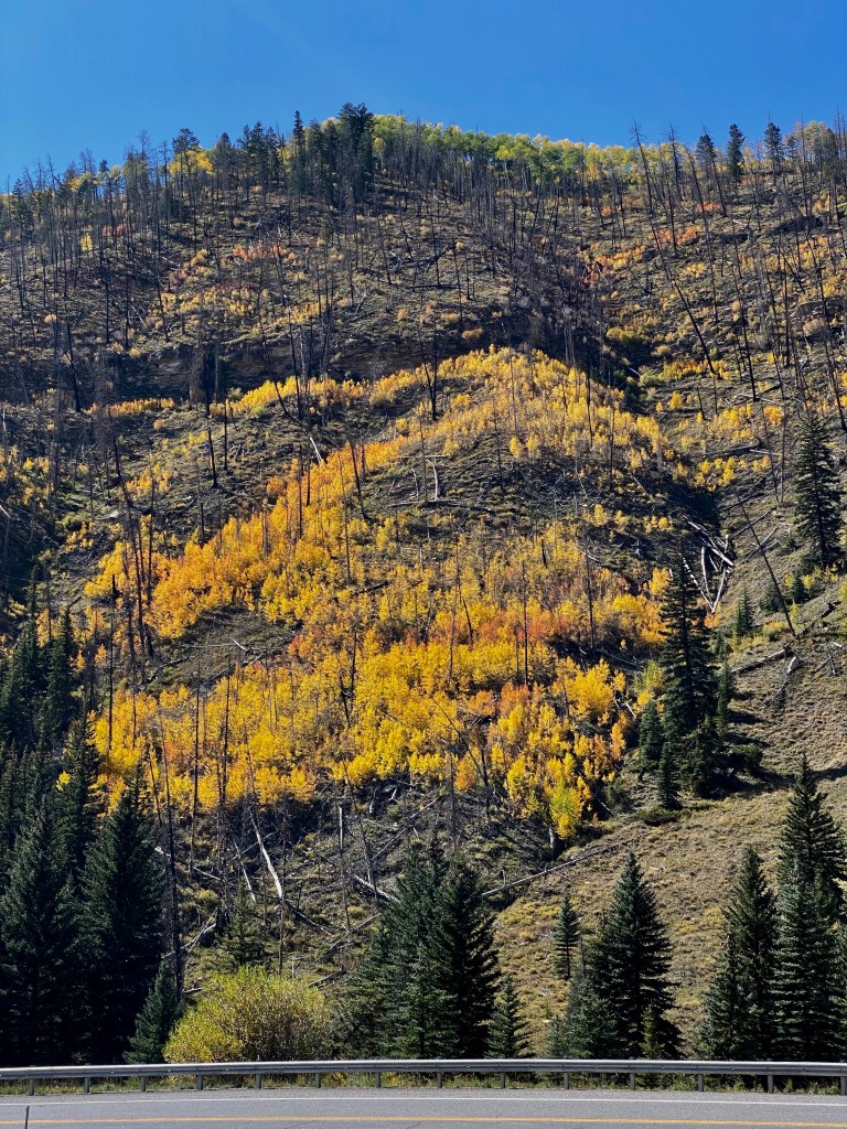
We went back up the mountain and stuck our camp and decided pick up Highway 72 through Fremont to Highway 10 on the other side of I-70, to Huntington and up the canyon to take in the colors of the approaching Fall.
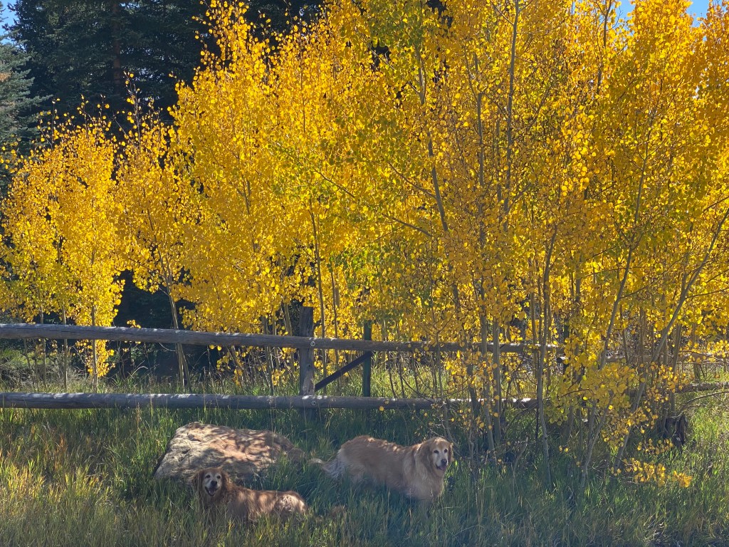
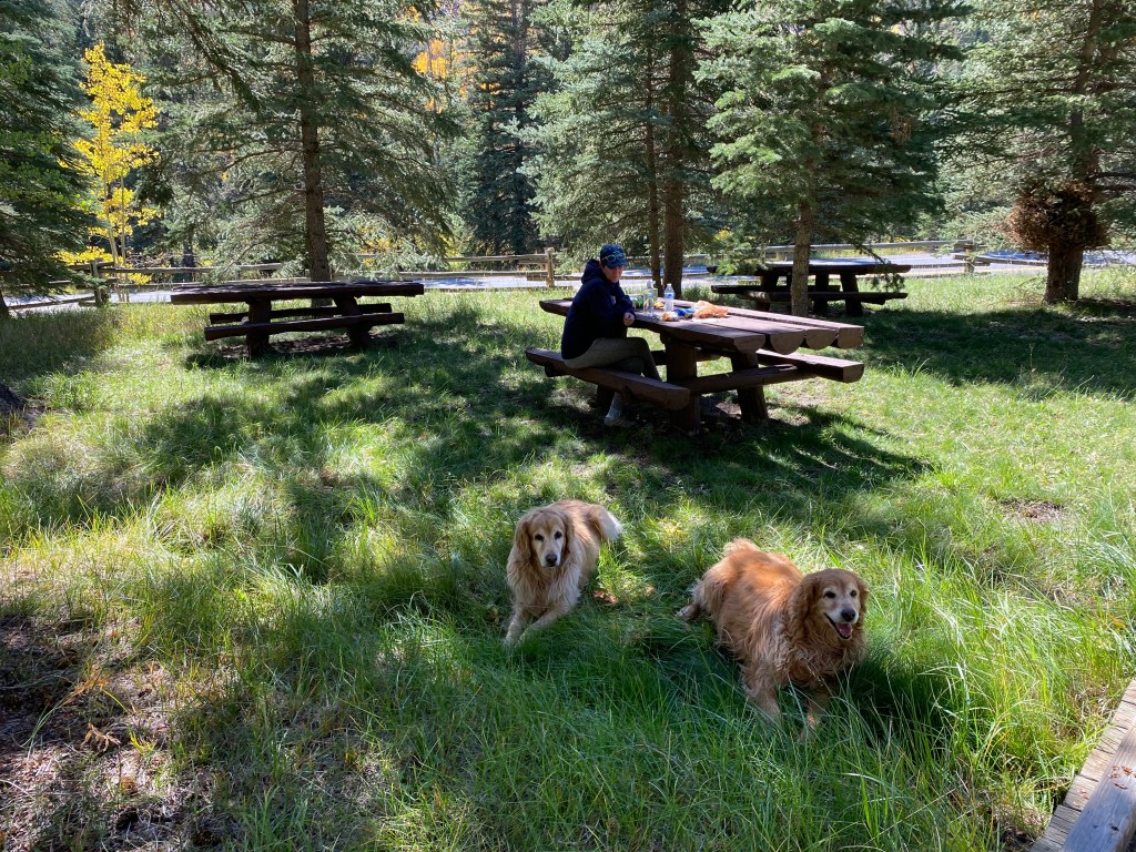
We stopped at the Stuart Ranger Station as we always do and had a little picnic, while Ginger and Maryann, being the extraordinary travelers and good girls that they are, only dipped their front paws in the little stream of water to cool off.
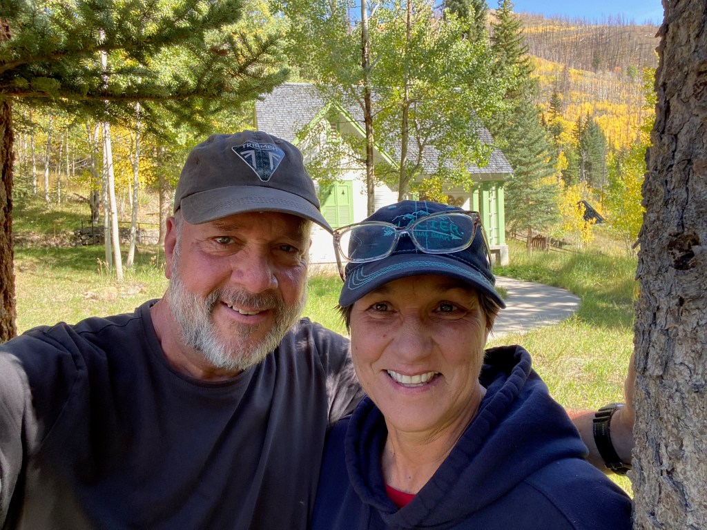
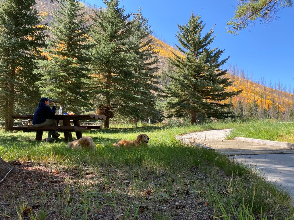
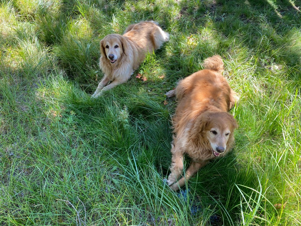
This is what heaven looks like.
We continued back up the canyon to the other side, awed by the color and the canyon’s resilience and message that life goes on, and made it back home.